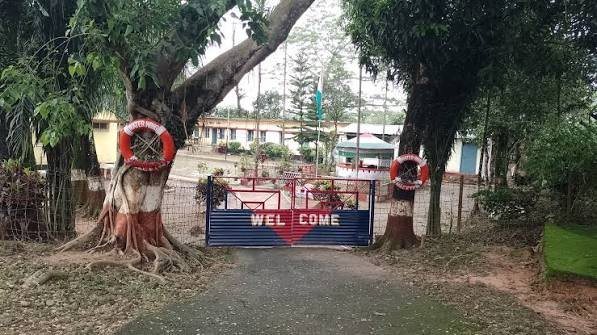
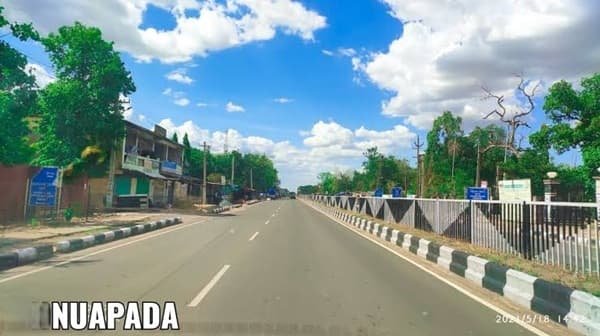
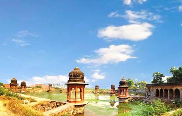
Chamarajanagar is the southernmost district of Karnataka and is known for extensive forests, wildlife reserves, hills, temples and its borders with both Tamil Nadu and Kerala. Chamarajanagar town serves as the district headquarters. The district was carved out of the larger Mysore district and officially came into existence on 15 August 1997. It covers about 5,100 sq. km and had a population of 10,20,791 according to Census 2011. Bandipur National Park, Biligiri Ranganatha Hills and Male Mahadeshwara Hills are among its best-known destinations.
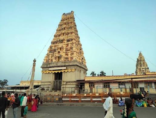
Quick Overview of Chamarajanagar District
| Particular | Details |
| State | Karnataka |
| District Headquarters | Chamarajanagar |
| District Formation | 15 August 1997 |
| Area | About 5,100 sq. km |
| Population | 10,20,791 |
| Literacy Rate | 61.43% |
| Taluks | 5 |
| Gram Panchayats | 130 |
| Villages | 509 |
| Main Court | Chamarajanagar District Court |
| Main Railway Station | Chamarajanagar Railway Station |
| Railway Station Code | CMNR |
| Railway Zone | South Western Railway |
| Railway Division | Mysuru Division |
| Main Chamarajanagar PIN Code | 571313 |
| Nearest Airport | Mysuru Airport |
| Official District Website | chamrajnagar.nic.in |
The current district profile lists five taluks, 130 Gram Panchayats and 509 villages.
Location of Chamarajanagar District
Chamarajanagar lies at the southern tip of Karnataka. Its geographical position makes it an important border district connecting Karnataka with parts of Tamil Nadu and Kerala.
The district lies roughly between 11°40′58″ and 12°06′32″ north latitude and 76°24′14″ and 77°46′55″ east longitude. Much of the landscape consists of semi-arid plains, forest-covered hills and sections of the Eastern and Western Ghats region.
Chamarajanagar city is approximately:
- 60 km from Mysuru
- 180 km from Bengaluru
The district is particularly important for wildlife because it includes or adjoins major protected landscapes such as Bandipur and Biligiri Ranganatha Temple Wildlife Sanctuary.
Administration of Chamarajanagar District
Chamarajanagar town is the district administrative headquarters. The main district offices operate from the DC Office Complex in Chamarajanagar – 571313.
The district has five taluks:
- Chamarajanagar
- Kollegal
- Gundlupet
- Yelandur
- Hanur
Hanur was created as a separate taluk after being carved out of the larger Kollegal taluk.
For rural administration and development, Chamarajanagar has five Taluk Panchayats and 130 Gram Panchayats. Revenue, land records, certificates and other local administrative matters are handled through the district and taluk-level offices.
Chamarajanagar District Court
The principal judicial establishment is the Chamarajanagar District Court.
The district judiciary deals with civil and criminal matters through the District and Sessions Court and subordinate judicial courts. Residents can use the official eCourts system for:
- Case status
- Hearing dates
- Cause lists
- Court orders
- Case-number searches
- CNR searches
The official district website directly links citizens to eCourts Services for Chamarajanagar.
District Court Location
The main court is located at:
Chamarajanagar District Court Complex, Chamarajanagar, Karnataka – 571313
The court complex is within Chamarajanagar city and is accessible from the main administrative, railway and bus areas by local road transport.
Chamarajanagar Railway Station
Chamarajanagar Railway Station is the principal railway station serving the district headquarters.
Railway Station Code: CMNR
Indian Railways lists Chamarajanagar under the South Western Railway, Mysuru Division. The station is classified as an NSG-4 station in railway records.
The railway line provides connectivity towards Mysuru and Bengaluru, making rail a useful option for reaching the district headquarters.
Chamarajanagar Railway Station Location
Chamarajanagar Railway Station is located in the urban area of Chamarajanagar, on the Mysuru Road side of the town.
A commonly used location is:
Mysuru Road, Chamarajanagar, Karnataka – 571313
Passengers arriving at the station can normally continue by:
- Autorickshaw
- Local taxi
- Bus
- Private vehicle
The station is close enough to the main town for convenient access to government offices, markets and accommodation.
Road Connectivity
Road transport is particularly important in Chamarajanagar because many tourist and pilgrimage destinations lie away from railway lines.
Frequent road connections are available towards:
- Mysuru
- Bengaluru
- Gundlupet
- Kollegal
- Yelandur
- Ooty
- Wayanad
Government buses operate between Mysuru and Chamarajanagar, and the district headquarters is about 60 km from Mysuru.
Visitors travelling through Bandipur towards Tamil Nadu should remember that night traffic restrictions apply on the forest road, with the district tourism page listing a ban from 9 PM to 6 AM.
Nearest Airport to Chamarajanagar
Chamarajanagar does not have its own commercial airport.
Mysuru Airport (MYQ) is the nearest airport by distance and is located at Mandakalli, south of Mysuru. The Airports Authority of India confirms that it operates scheduled domestic services.
Mysuru is about 60 km from Chamarajanagar town. Bengaluru’s Kempegowda International Airport is much farther away but generally provides a wider selection of domestic and international flights.
Chamarajanagar Pin Code
The main PIN code of Chamarajanagar city is 571313.
India Post records list Chamarajanagar Post Office – 571313, and the same PIN is used by the DC Office Complex and District Court.
Other taluk headquarters use different PIN codes, including:
- Kollegal – 571440
- Yelandur – 571441
- Gundlupet – 571111
- Hanur – 571439
The exact PIN should therefore be checked according to the locality rather than using 571313 for every address in the district.
Major Tourist Places in Chamarajanagar District
Bandipur National Park
Bandipur is one of Karnataka’s best-known tiger reserves and forms part of the larger Nilgiri Biosphere landscape. It is located in Gundlupet taluk and is home to elephants, tigers, leopards, deer and many bird species.
Biligiri Ranganatha Hills
Popularly known as BR Hills, this forested hill region combines a wildlife sanctuary with the Biligiri Ranganathaswamy Temple.
Male Mahadeshwara Hills
MM Hills is a major Shiva pilgrimage centre surrounded by forest. It is about 110 km from Chamarajanagar and 75 km from Kollegal.
FAQs About Chamarajanagar District
Q. Can I drive from Chamarajanagar towards Ooty through Bandipur late at night?
Travellers should not plan to cross the protected Bandipur road during the night closure. The district tourism information lists restrictions between 9 PM and 6 AM, so plan the journey to reach the forest stretch before the closure begins.
Q. Should I fly to Mysuru or Bengaluru when visiting Chamarajanagar?
Mysuru Airport is much closer and is convenient when a suitable flight is available. Bengaluru usually offers many more flight choices, but it involves a substantially longer road journey.
Q. Is it practical to visit both Bandipur and BR Hills on the same day?
It is possible only with a rushed schedule and private transport, but it is generally better to choose one. Wildlife entry times, road distances and forest restrictions can make combining both uncomfortable, especially if a safari is planned.
Q. Is public transport available for Male Mahadeshwara Hills?
Yes. The district administration states that regular buses and taxis are available from Chamarajanagar and Kollegal towards MM Hills. Starting early is advisable because hill and forest-route services can be less frequent later in the day.