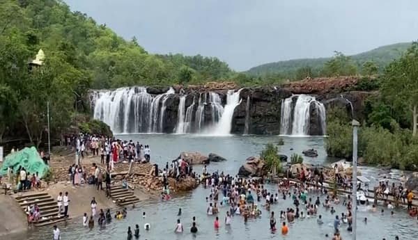
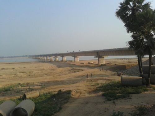
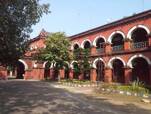
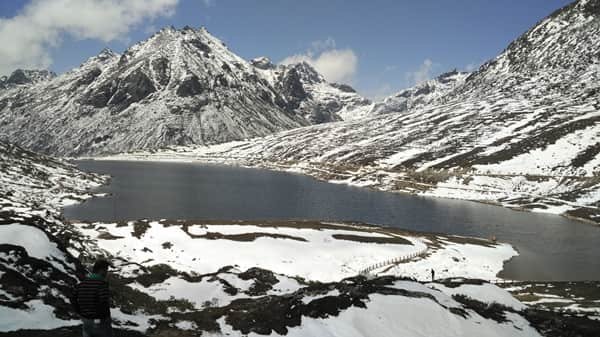
West Kameng is a mountainous district of Arunachal Pradesh, with Bomdila serving as its administrative headquarters. The district is known for Buddhist monasteries, Himalayan valleys, tribal culture, orchards and scenic settlements such as Dirang, Shergaon and Rupa. West Kameng was formed on 1 June 1980 when the former Kameng district was divided into East Kameng and West Kameng. Tawang was subsequently separated from West Kameng in 1984. The district currently covers about 7,422 sq. km, with a Census 2011 population of 83,947 and a literacy rate of 67.07%.
Quick Overview of West Kameng District
| Particular | Details |
| State | Arunachal Pradesh |
| District Headquarters | Bomdila |
| District Formation | 1 June 1980 |
| Area | 7,422 sq. km |
| Population | 83,947 |
| Literacy Rate | 67.07% |
| Administrative Sub-Divisions | 3 |
| Administrative Circles | 13 |
| Development Blocks | 5 |
| Villages | 260 |
| Main Court | District and Sessions Court, Bomdila |
| Railway Station in Bomdila | None |
| Nearest Railway Station | Bhalukpong |
| Railway Station Code | BHNG |
| Railway Zone | Northeast Frontier Railway |
| Railway Division | Rangiya Division |
| Bomdila PIN Code | 790001 |
| Nearest Airport | Tezpur Airport |
| Official District Website | westkameng.nic.in |
The current district portal records five development blocks and 260 villages.
Location of West Kameng District
West Kameng lies in western Arunachal Pradesh in the Eastern Himalayas. The district derives its name from the Kameng River, a tributary of the Brahmaputra.
Its boundaries include:
- Tibet Autonomous Region of China to the north
- Bhutan to the west
- Tawang district towards the northwest
- East Kameng district towards the east
- Assam towards the south
The district stretches from subtropical foothills near Bhalukpong to high mountain areas around Bomdila and Dirang. Much of the terrain consists of forest-covered mountains and deep valleys.
Bomdila stands at an elevation of more than 2,500 metres and is an important stop on the road towards Tawang.
Administration of West Kameng District
Bomdila is the district headquarters.
The official district profile identifies three administrative subdivisions:
- Bomdila
- Thrizino
- Rupa
It also has independent Additional Deputy Commissioner establishments at:
- Dirang
- Singchung
The district has 13 administrative circles:
- Bomdila
- Dirang
- Thembang
- Nafra
- Rupa
- Kalaktang
- Shergaon
- Singchung
- Jamiri
- Thrizino
- Bhalukpong
- Kamengbari-Doimara
- Balemu
These administrative centres help provide revenue, certificate, development and other government services across the widely scattered mountain settlements.
Development Blocks
West Kameng has five Community Development Blocks:
- Dirang
- Kalaktang
- Nafra
- Thrizino
- Singchung
The blocks cover rural-development programmes and village-level schemes.
West Kameng District Court
The principal judicial establishment is the District and Sessions Court at Bomdila.
The official judicial establishment is known as the District and Sessions Court, Sessions Division, Bomdila. Its jurisdictional setup also serves neighbouring districts through the Bomdila Sessions Division.
The court handles district-level civil and criminal matters, while citizens can use eCourts services for:
- Case status
- Hearing dates
- Cause lists
- Court orders
- CNR searches
The District Legal Services Authority for West Kameng also functions through the district judicial system.
District Court Location
The main court is located at:
District and Sessions Court, Bomdila, West Kameng, Arunachal Pradesh – 790001
Current Arunachal Pradesh government records confirm the District and Sessions Court at Bomdila under PIN 790001.
The court can be reached from central Bomdila by local taxi or private vehicle.
Railway Station in West Kameng District
Bomdila does not have a railway station.
The nearest railway station within West Kameng district is:
Bhalukpong Railway Station
Station Code: BHNG
Indian Railways lists Bhalukpong under the Northeast Frontier Railway, Rangiya Division. It is located on the Balipara–Bhalukpong broad-gauge line.
The district administration places Bhalukpong railway station at about 100 km from Bomdila.
Bhalukpong Railway Station Location
Bhalukpong Railway Station is situated at Bhalukpong in West Kameng district – 790114, near the Assam-Arunachal border.
Bhalukpong is the main southern gateway to the district. Travellers continuing towards Bomdila, Dirang or Tawang need to proceed by road from here.
Because train options at Bhalukpong are limited, travellers may also compare services through Tezpur-side stations or Guwahati before planning the journey.
Road Connectivity
Road transport is the main means of travelling through West Kameng.
Regular road connections are available towards:
- Tezpur
- Guwahati
- Bhalukpong
- Bomdila
- Dirang
- Tawang
- Itanagar
The district administration states that regular passenger buses operate between Bomdila and places including Tezpur, Guwahati and Itanagar. The road from Bhalukpong to Bomdila generally requires several hours because of the mountainous terrain.
Nearest Airport to West Kameng
The nearest airport to Bomdila is Tezpur Airport in Assam.
The district administration places Tezpur Airport at approximately 160 km from Bomdila.
Tezpur Airport currently has passenger-airline facilities, while Guwahati Airport is a farther but much larger alternative with a wider selection of flights.
West Kameng Pin Code
The principal PIN code of Bomdila is 790001.
Other important postal codes include:
- Bomdila – 790001
- Kalaktang – 790002
- Balemu – 790002
- Rupa – 790003
- Dirang – 790101
- Bhalukpong – 790114
- Singchung – 790116
- Tenga Market – 790116
The correct PIN should therefore be selected according to the exact town or village.
Major Tourist Places in West Kameng District
Bomdila Monasteries
Bomdila is known for Buddhist monasteries including the Gontse Gaden Rabgyel Lling Monastery, commonly associated with the Upper Gompa, as well as the Lower Gompa. These sites reflect the strong Buddhist cultural traditions of the region.
Sangti Valley
Sangti Valley lies about 14 km from Dirang and is surrounded by Eastern Himalayan mountains, orchards and forests. The valley is also visited by black-necked cranes during winter.
Tippi Orchid Research Centre
Tippi lies in the lower part of the district and is known for its orchid research centre. The district tourism department identifies it as one of West Kameng’s important visitor attractions.
Chillipam Monastery
Chillipam Monastery is about 15 km from Rupa and occupies a hilltop location offering wide views of the surrounding Himalayan valleys.
FAQs About West Kameng District
Q. Do visitors need an Inner Line Permit to travel to West Kameng?
Indian citizens travelling to Arunachal Pradesh generally need an Inner Line Permit (ILP). Visitors should obtain the required permit before entering through Bhalukpong or another authorised entry point and verify the latest Arunachal Pradesh entry rules before travelling.
Q. Is Bhalukpong railway station the best rail option for every West Kameng trip?
Not necessarily. It is the nearest station to Bomdila within the district, but train services are limited. Travellers coming from distant parts of India may find Guwahati more convenient because it has many more long-distance trains, followed by a road journey.
Q. Is it practical to travel from Bhalukpong to Bomdila after dark?
Daytime travel is preferable. The route is mountainous and can be affected by rain, fog, road repairs or landslides. The district administration indicates that the journey from Bhalukpong to Bomdila itself can take around four hours.
Q. Which area is better for a quiet nature stay: Bomdila or Dirang?
Dirang and nearby Sangti Valley are generally better suited to travellers seeking orchards, riverside scenery and a quieter valley setting. Bomdila is more convenient for district offices, monasteries and an overnight stop on the main road towards Tawang.